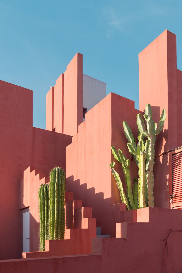
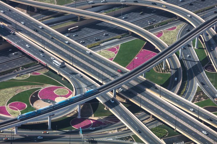
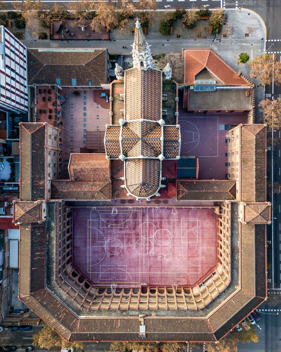
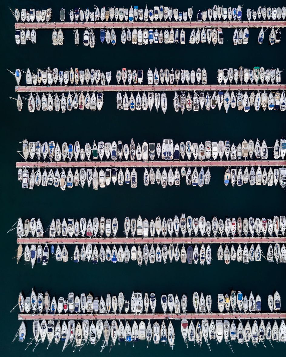
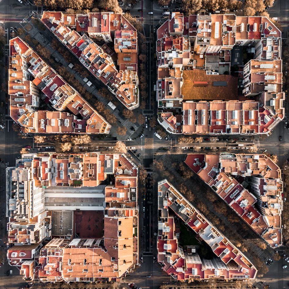
Aerial photographs of Barcelona reveal the geometric patterns of the coastal city
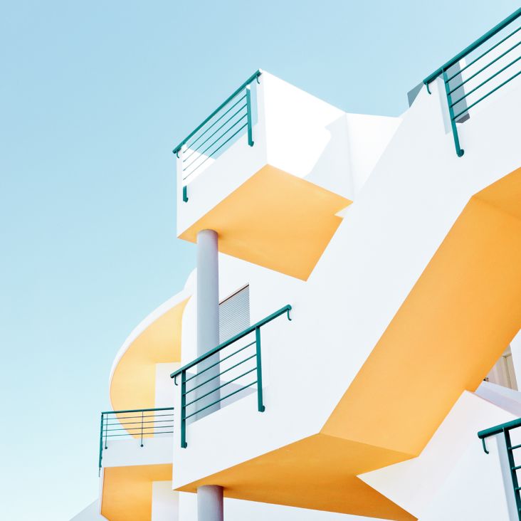
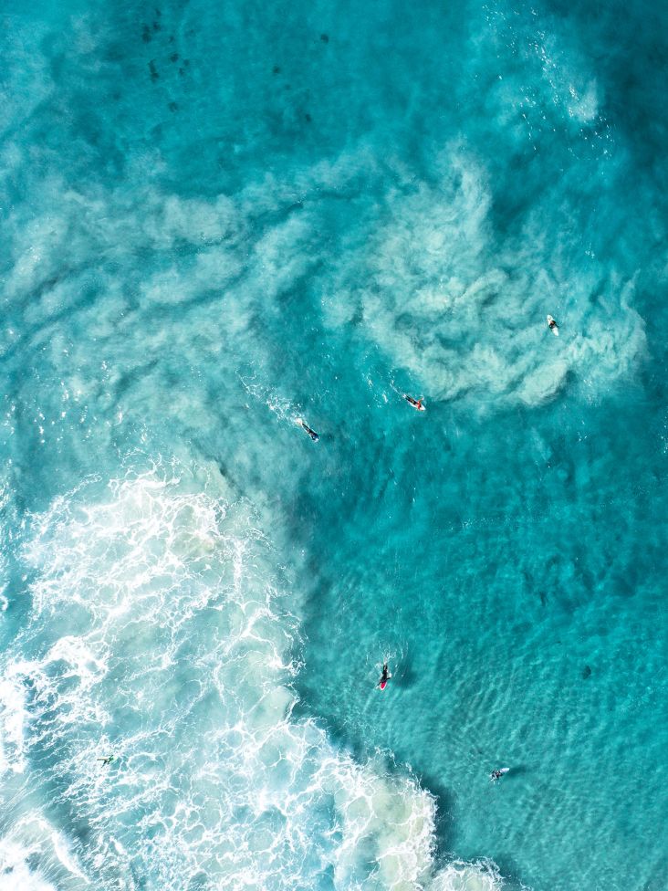
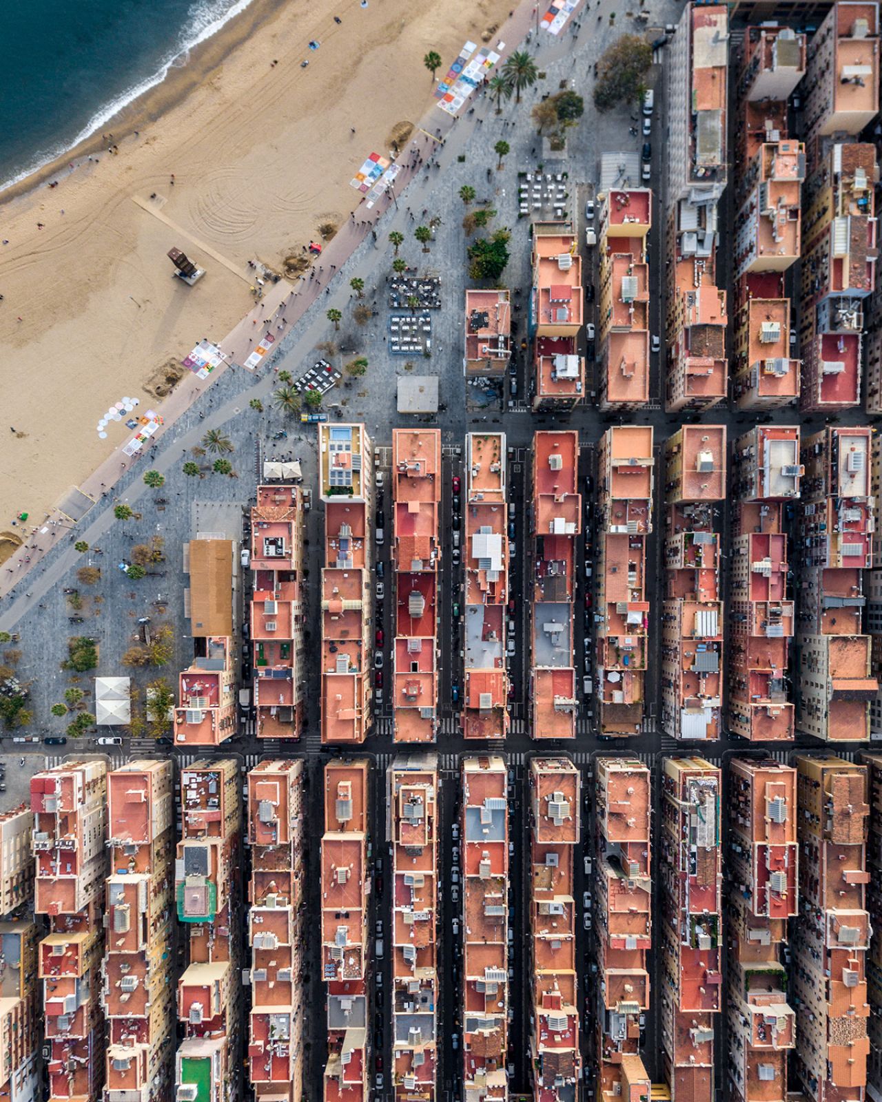
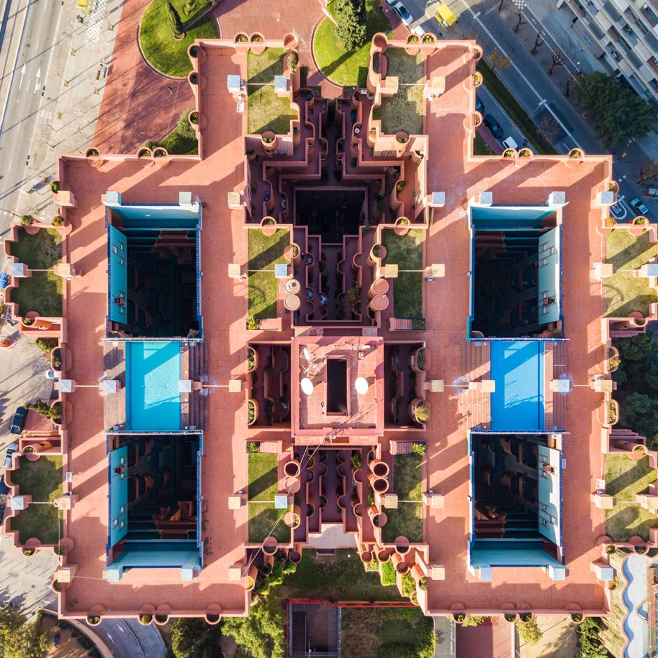
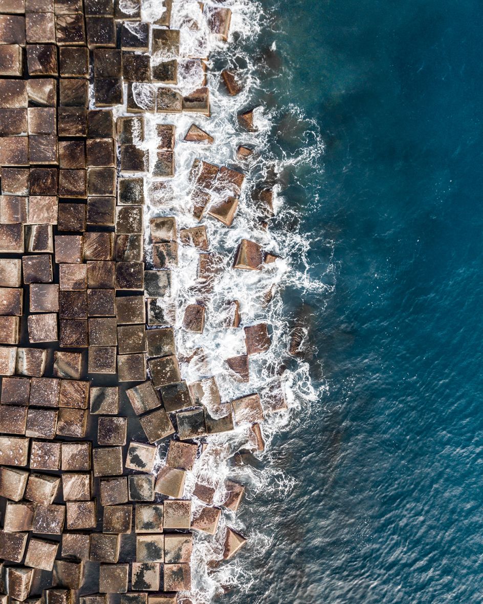
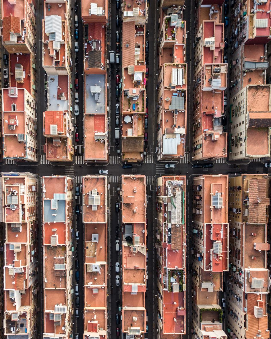
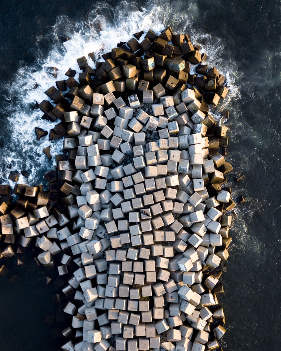
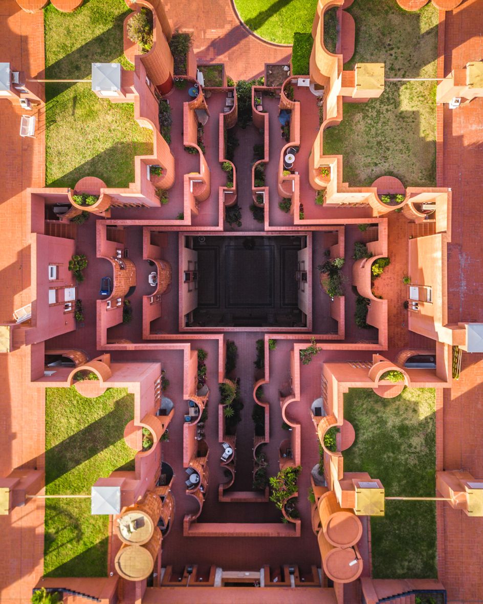
This gorgeous series by Márton Mogyorósy explores the coastal city of Barcelona from above, exploring the geometric patterns found in the Spanish city’s buildings, shore, and sea.
© Márton Mogyorósy
Soaring high in the sky, the photographs certainly give a unique perspective. "They open up a new way to look at any environment," says Márton. "With this vision of the Catalonian capital, we’re able to gain a new appreciation for the smaller building blocks of the urban fabric."
Márton used a drone to capture these aerial shots of Barcelona in January, after doing his research via Google Earth. He wanted to go beyond the usual tourist hotspots and uncover a different side to Barcelona, revealing the many beautiful patterns of the urban landscape from above.
The freelance photographer from Budapest dedicates most of his time to shooting architecture, aerial, and sometimes urbex as well. Discover more of his work at martonmogyorosy.com.
© Márton Mogyorósy
© Márton Mogyorósy
© Márton Mogyorósy
© Márton Mogyorósy
© Márton Mogyorósy
© Márton Mogyorósy
© Márton Mogyorósy
© Márton Mogyorósy
Editor's Picks


Trending


Podcasts


Editor's Picks
Further Reading