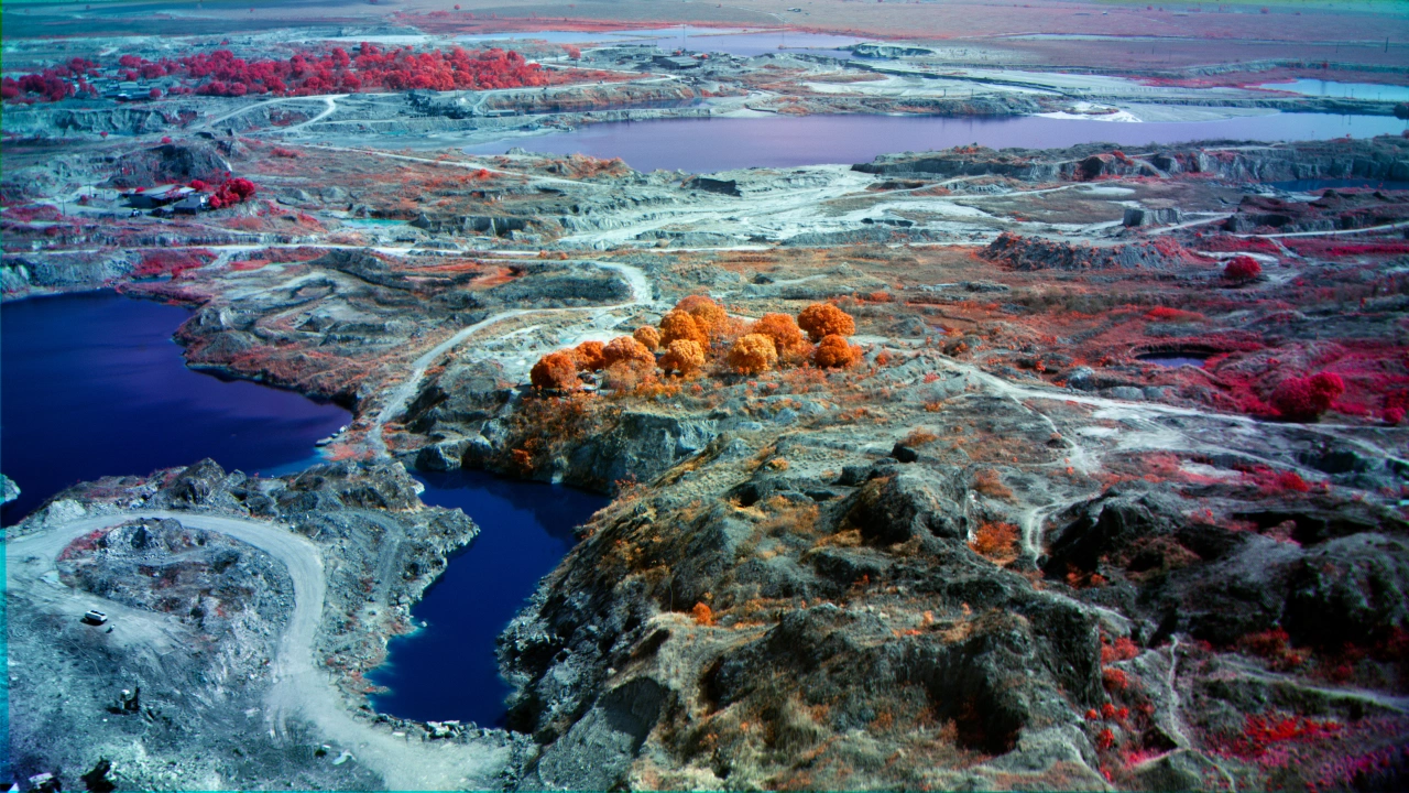
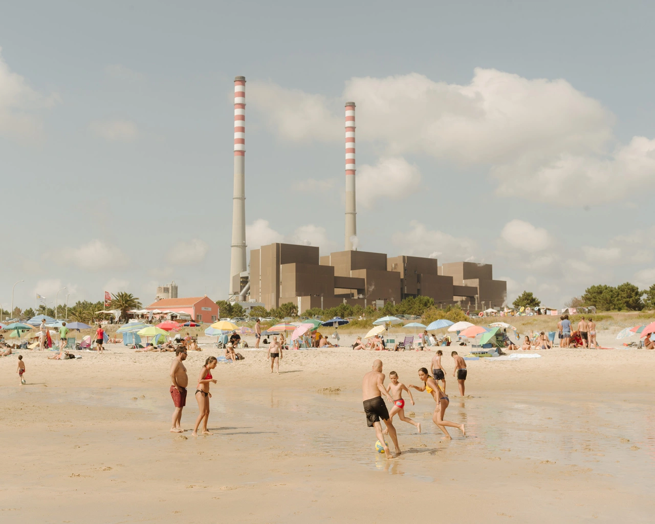
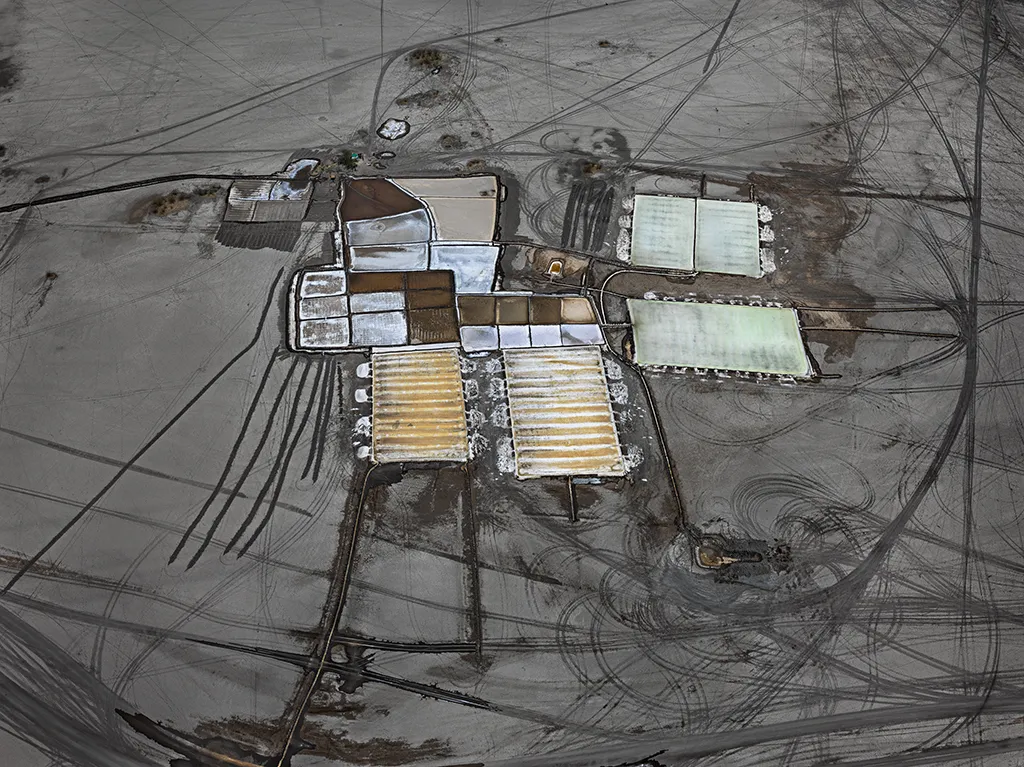
Giga-Project: Documenting the most destructive project on Earth
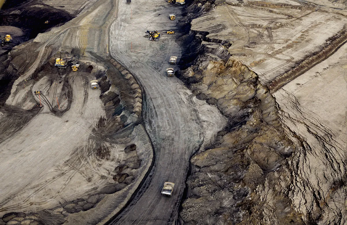
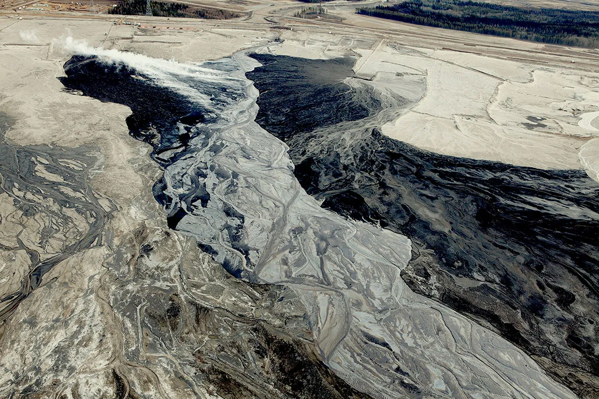
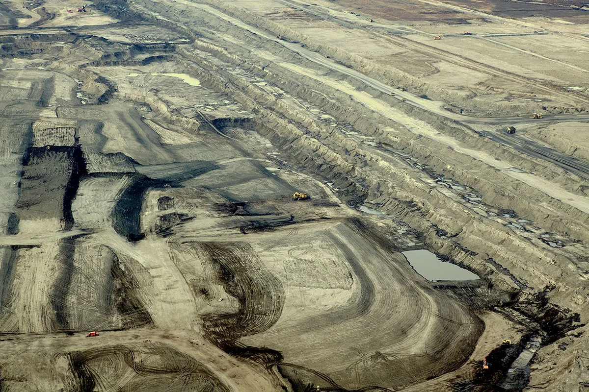
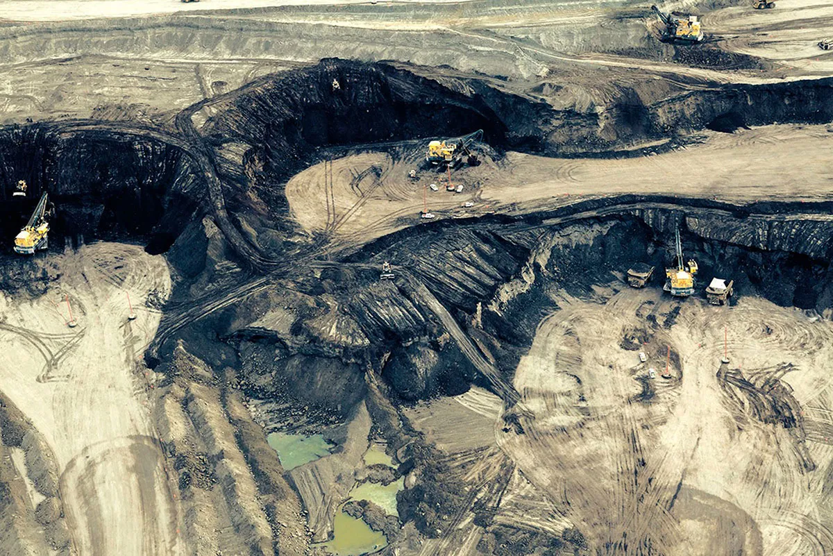
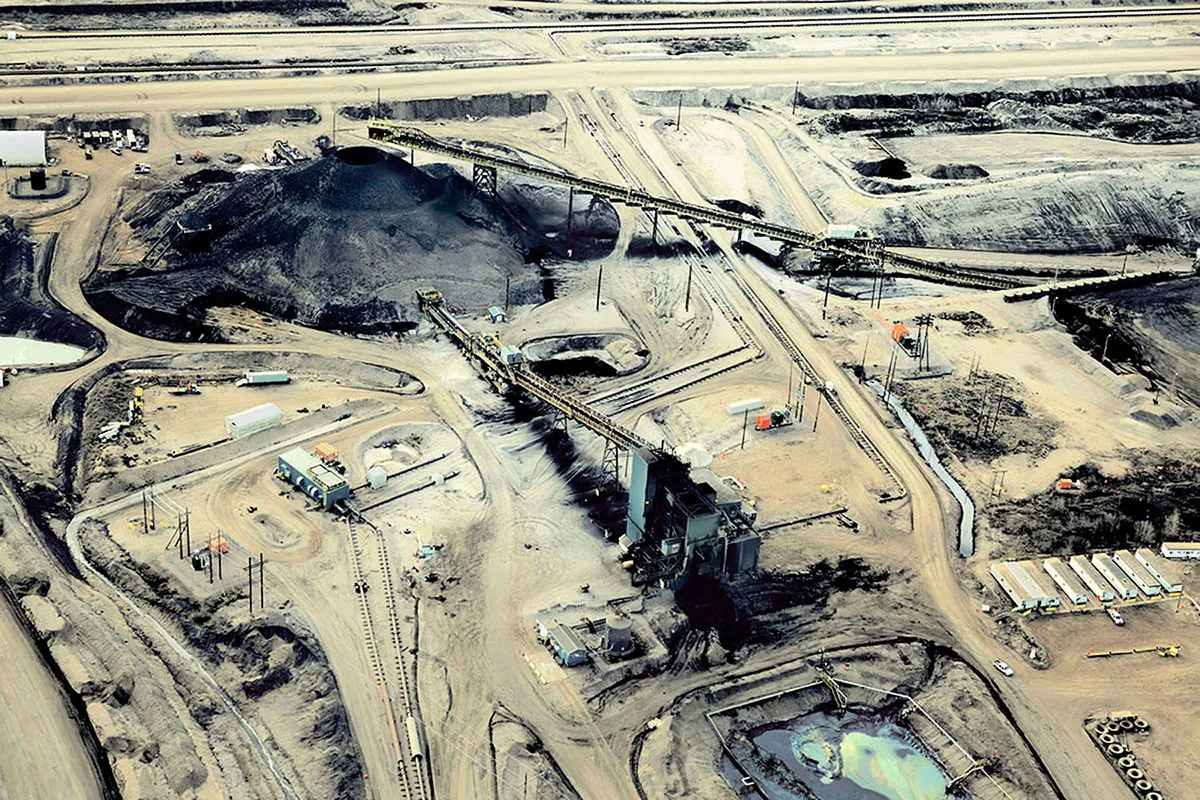
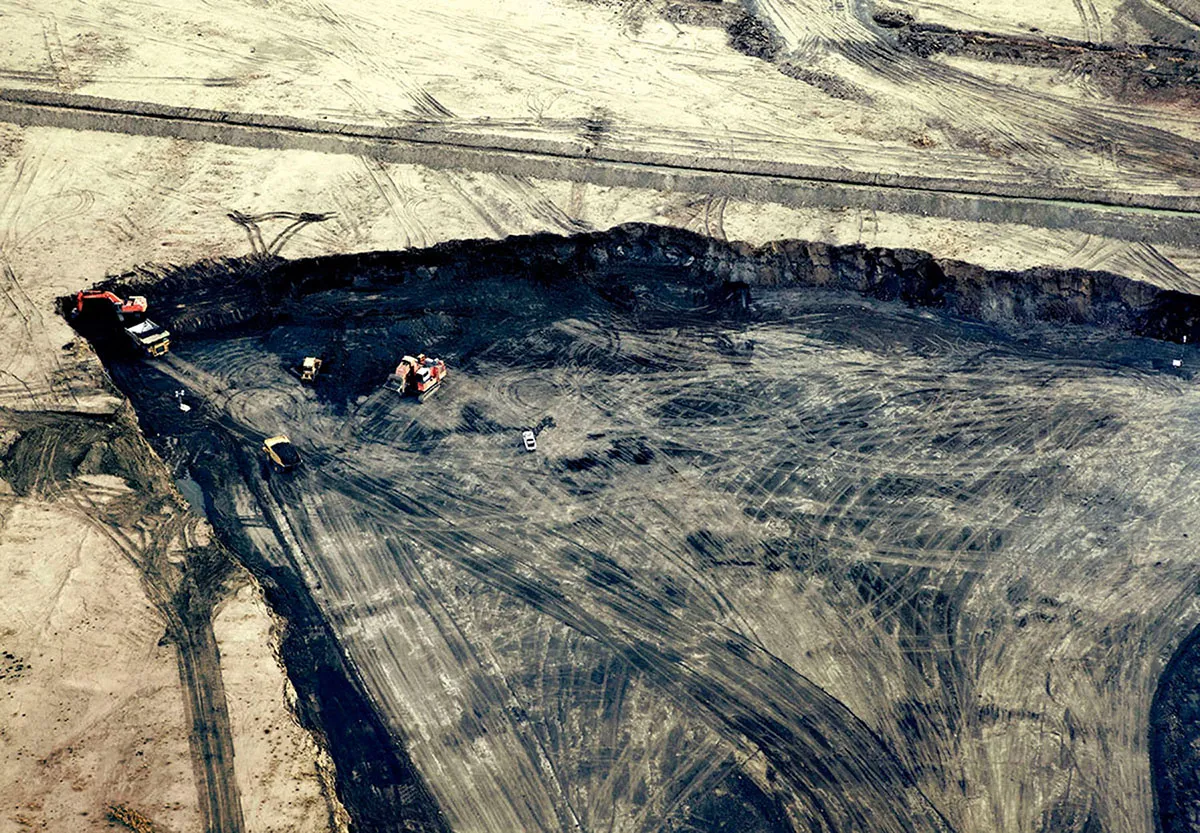
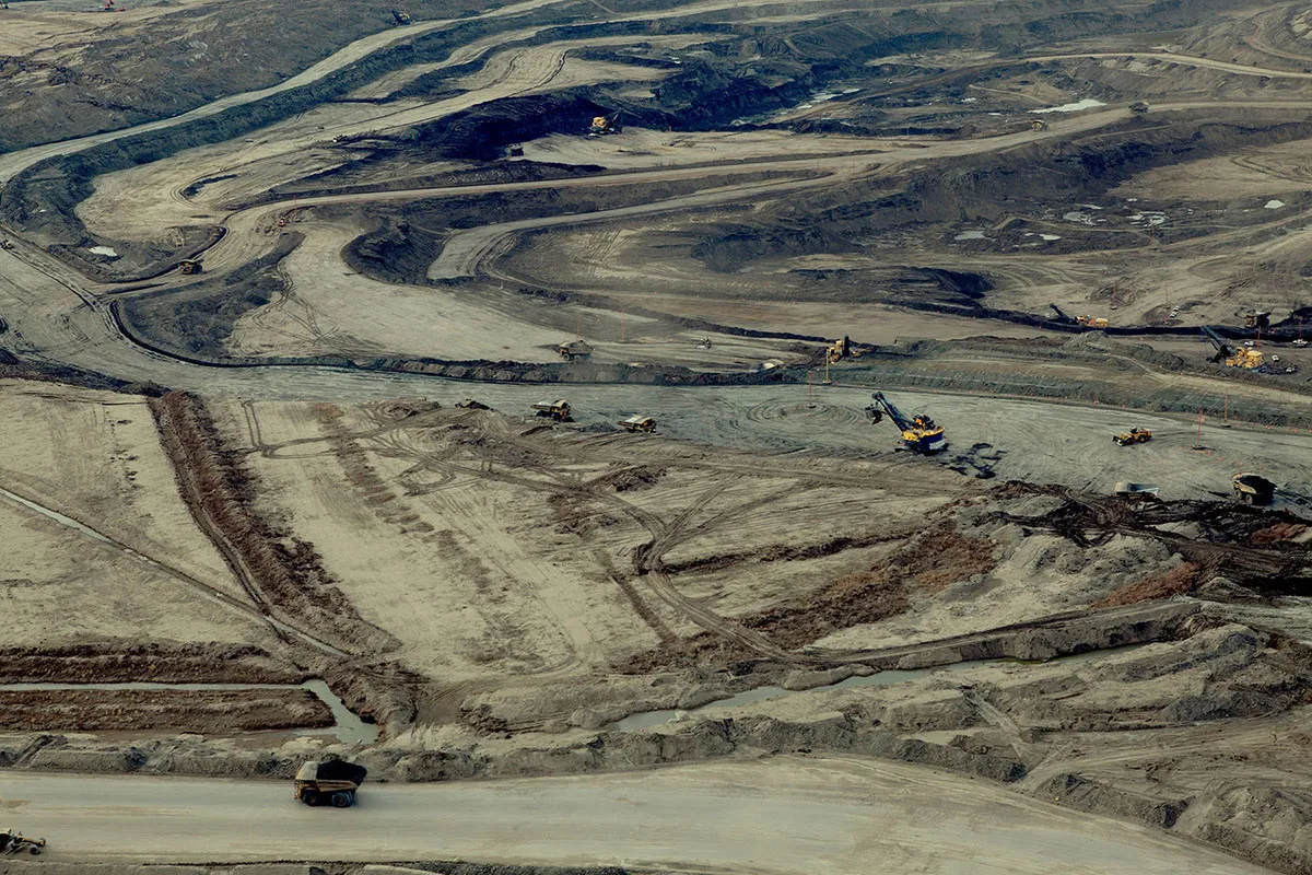
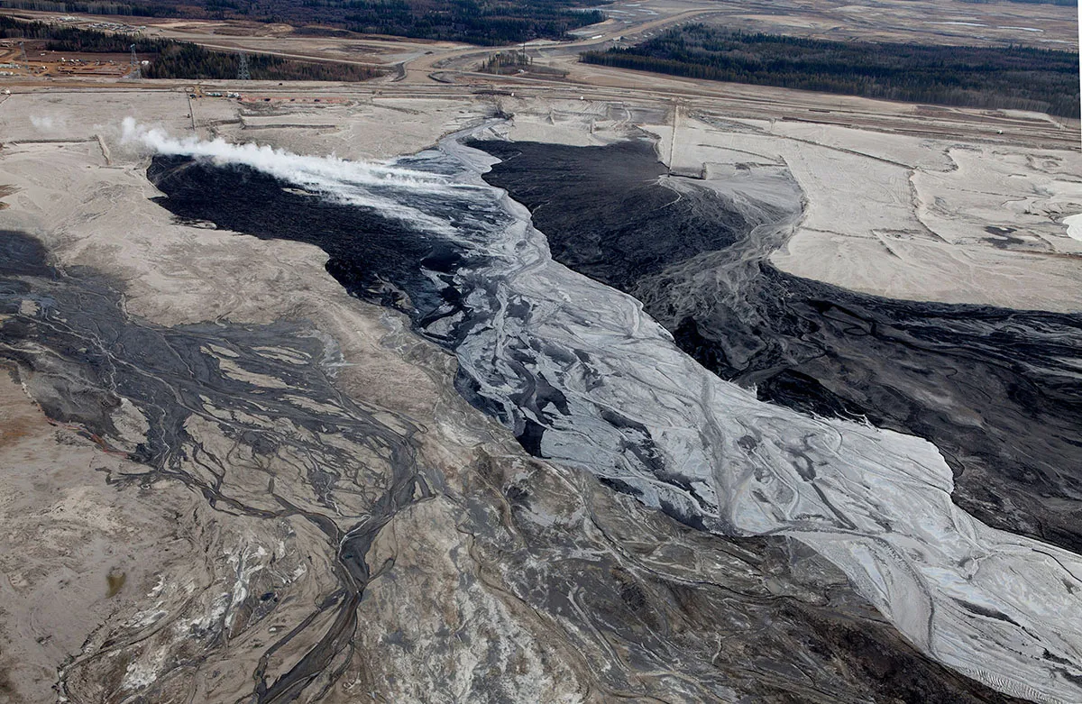
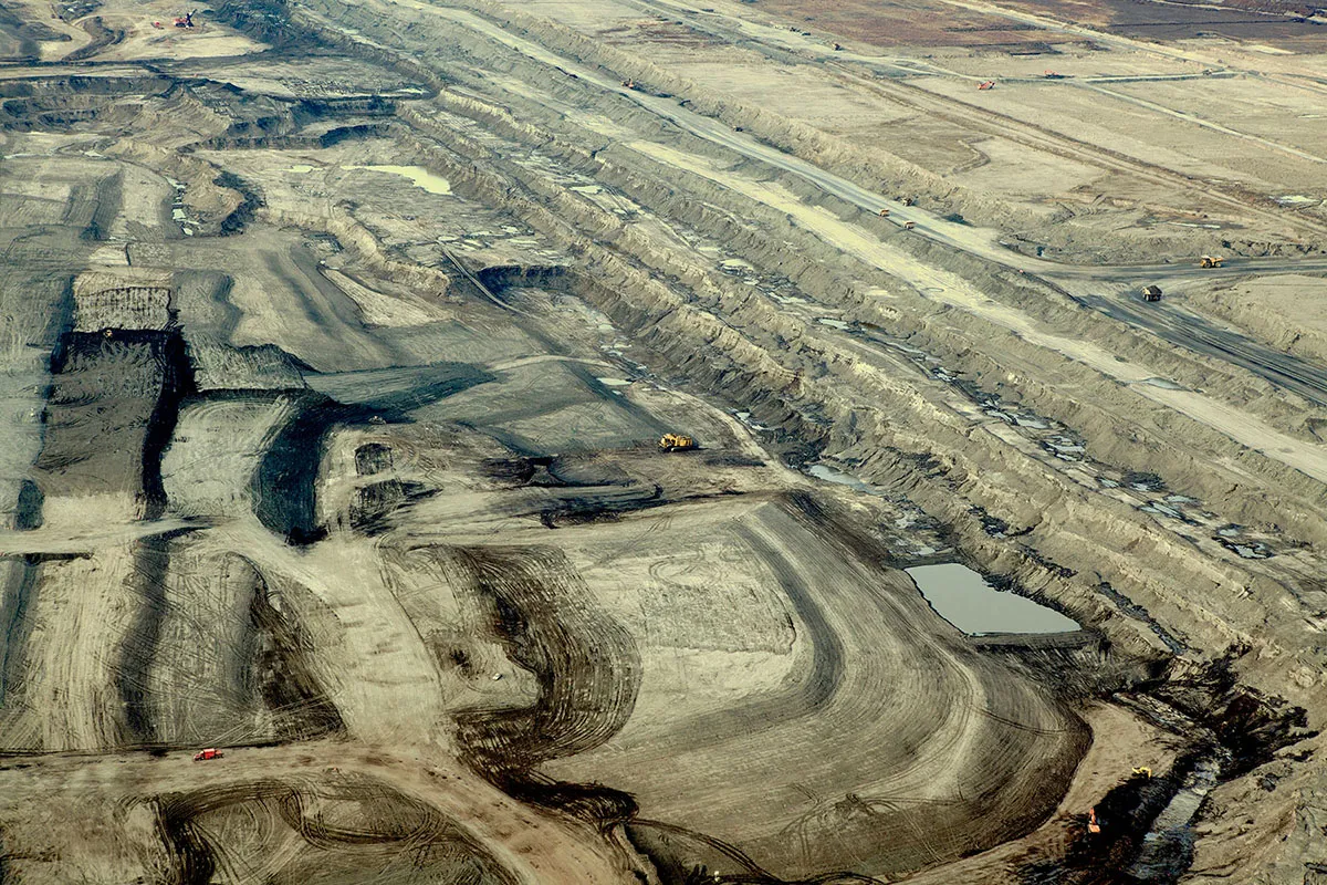
Award-winning landscape photographer Stuart Hall has been documenting the depressing course of the Giga-project in Northern Alberta, Canada – the largest industrial project in human history and likely to be the most destructive.
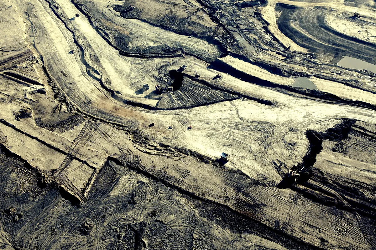
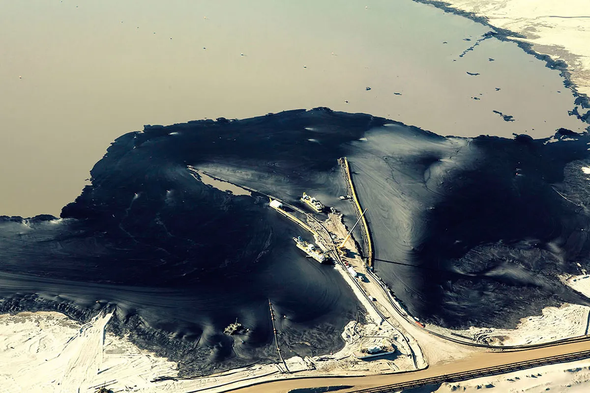
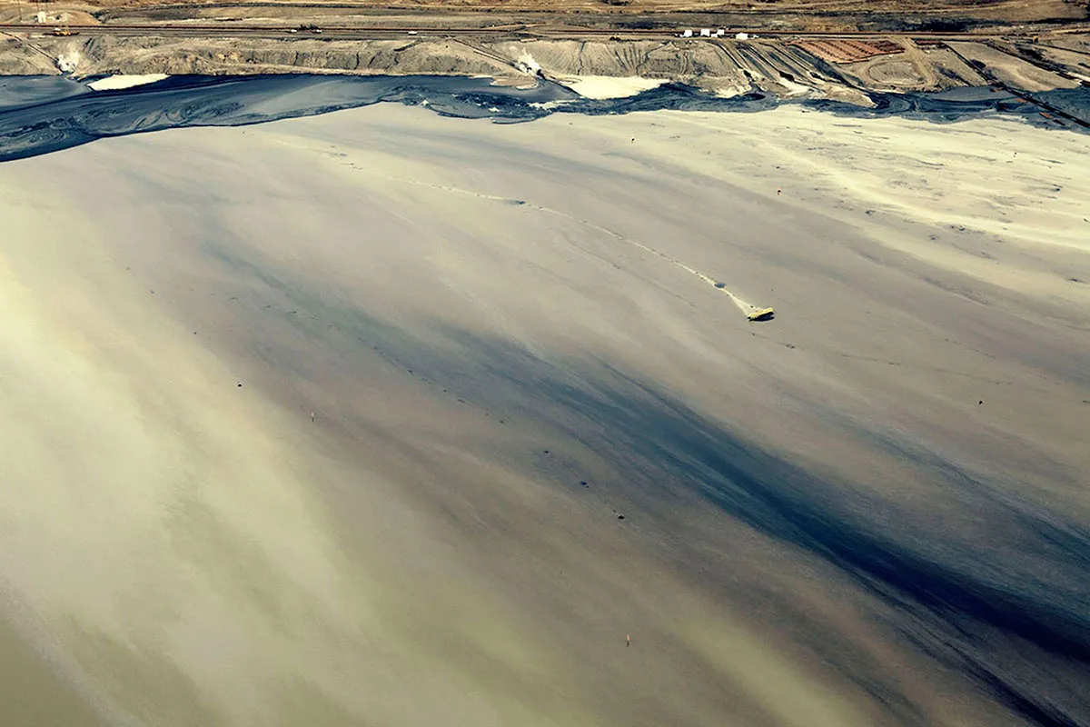
Stuart first visited the Tar Sands in Fort McMurray in 2011 and tries to return almost every year to capture the increasing damage to the natural environment. The incredible beauty in the images belies the reality that the process of extracting the bitumen is, according to environmentalists, the world's most damaging activity.
The scale is so enormous that the wound can be seen from space. The oil embedded in the sand lies under 140,000 km2 of forests, equivalent to the size of England.
Writing in the New York Times in 2013 Thomas Homer-Dixon wrote: "The most obvious reason is that tar sands production is one of the world’s most environmentally damaging activities. It wrecks vast areas of boreal forest through surface mining and subsurface production. It sucks up huge quantities of water from local rivers, turns it into toxic waste and dumps the contaminated water into tailing ponds that now cover nearly 70 square miles."
Stuart specialises in capturing people, lifestyle and vast, abstract landscapes. His portfolio covers beautiful and bold advertising campaigns for off-road car brands; night-time cityscapes, breathtaking landscapes and architecture. The dramatic nature of his photographs gives them an almost cinematographic and epic dimension. Discover more via JSR.
Via direct submission | All images courtesy of Stuart Hall
Editor's Picks





Trending





Latest Jobs
Head of design at Cog Design
Full-time·London·£55K
Midweight Designer at All Purpose
Full-time·London·£30k–38k
Account Manager at Moxie and Mettle
Full-time·Cheltenham·Up to £35k
Graphic Designer at Crux Product Design
Full-time·Bristol·Up to £36k
Junior Project Coordinator at Colorido Studios
Full-time·Twickenham·£28k–£32k
Senior Copywriter at Human After All
Full-time·London·£48k–£66k