Una Lee creates digital interactive sound map of an imaginary island
Belfast-based sound and multimedia artist Una Lee pursues alternative ways of storytelling. She sings, narrates, collects field recordings and makes things, as well as composing and designing her own live and/or fixed performances and intervention scenarios.
Many of her works, whilst being primarily sound-based, incorporate interdisciplinary aspects that blend performance art, visual art and theatre practice.
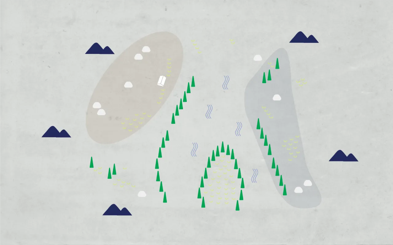
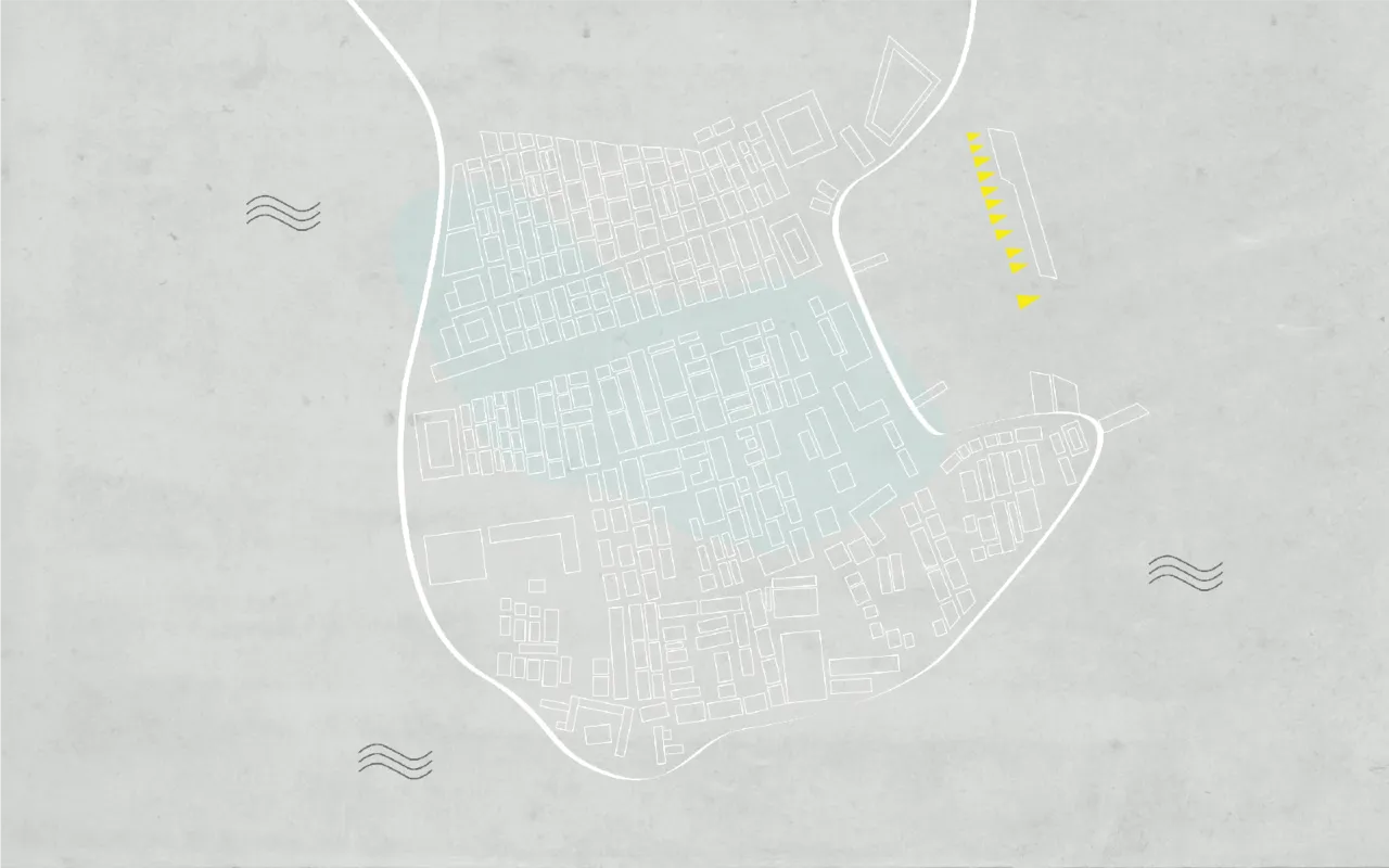
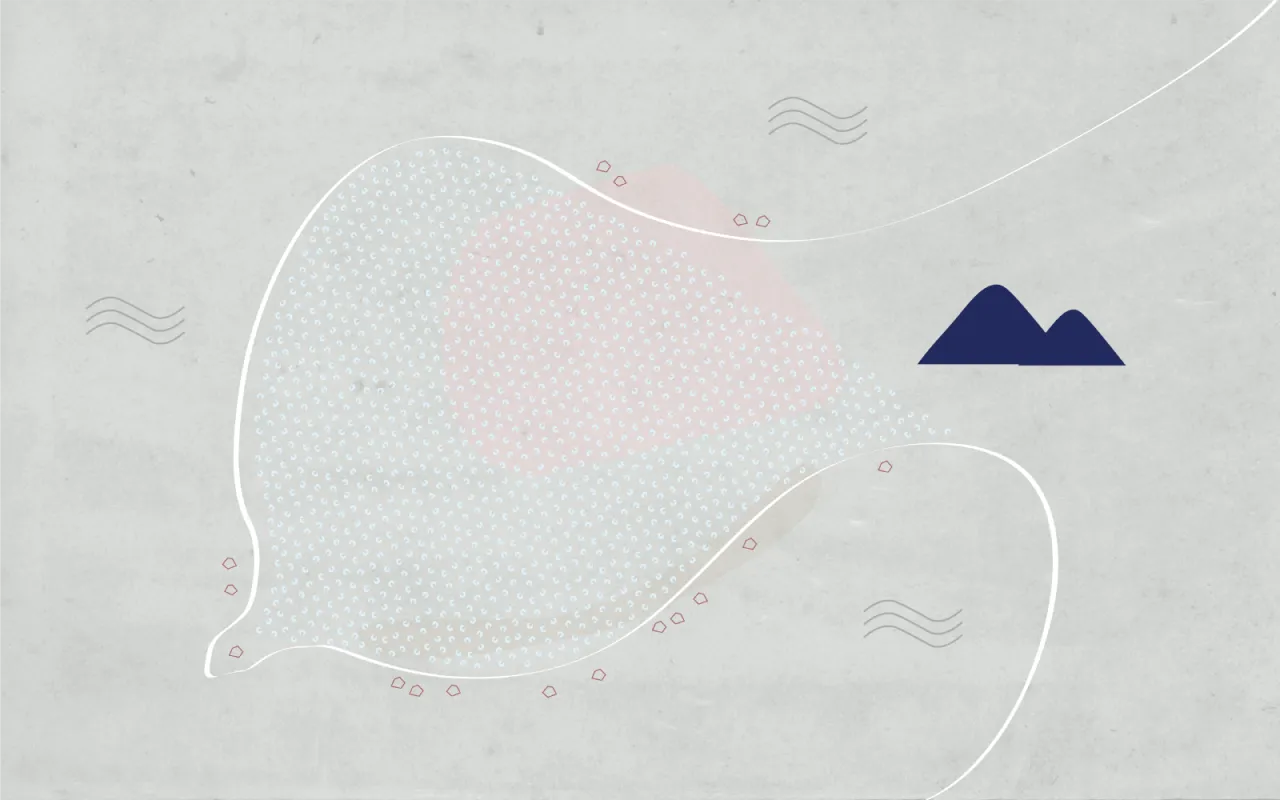
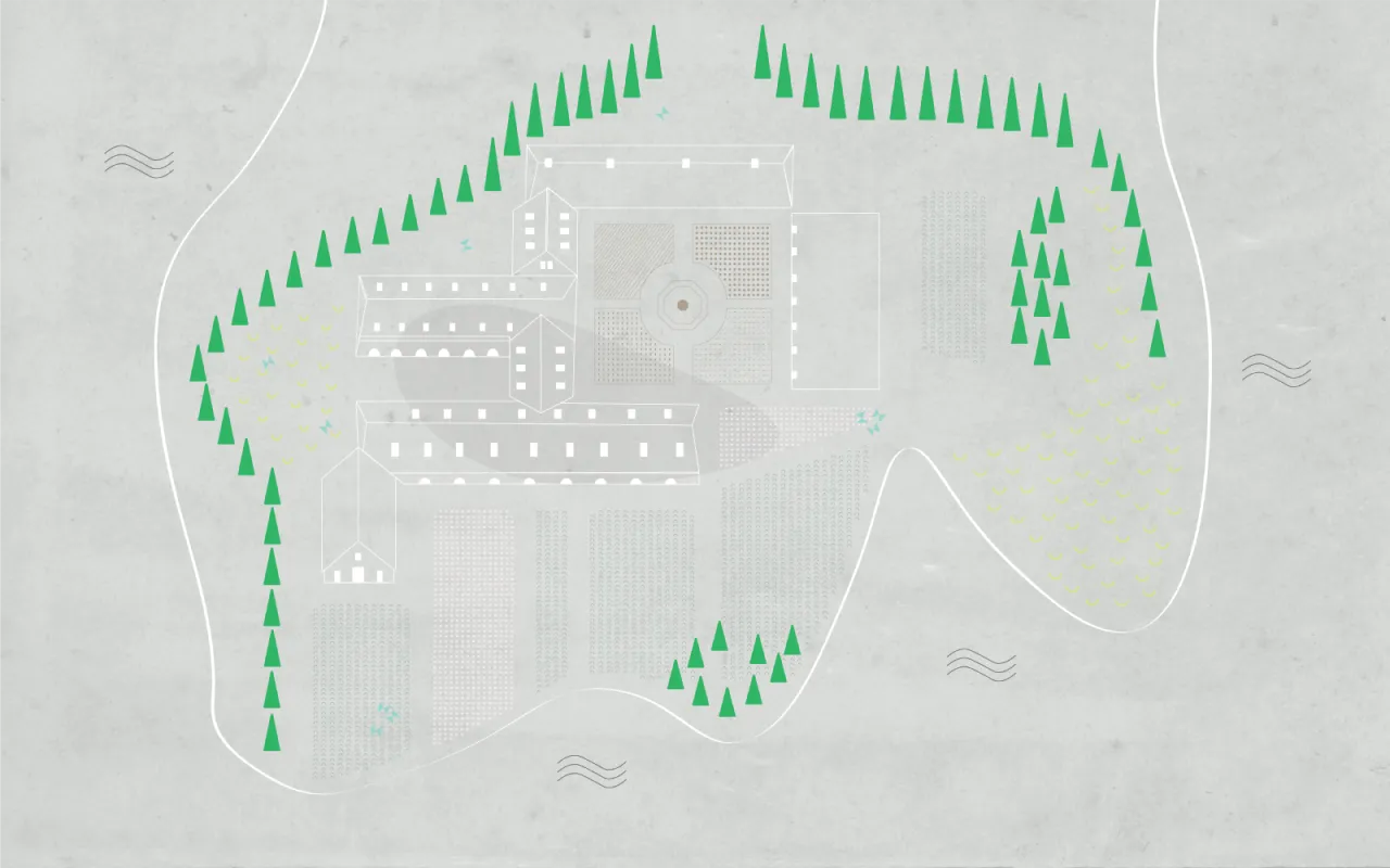
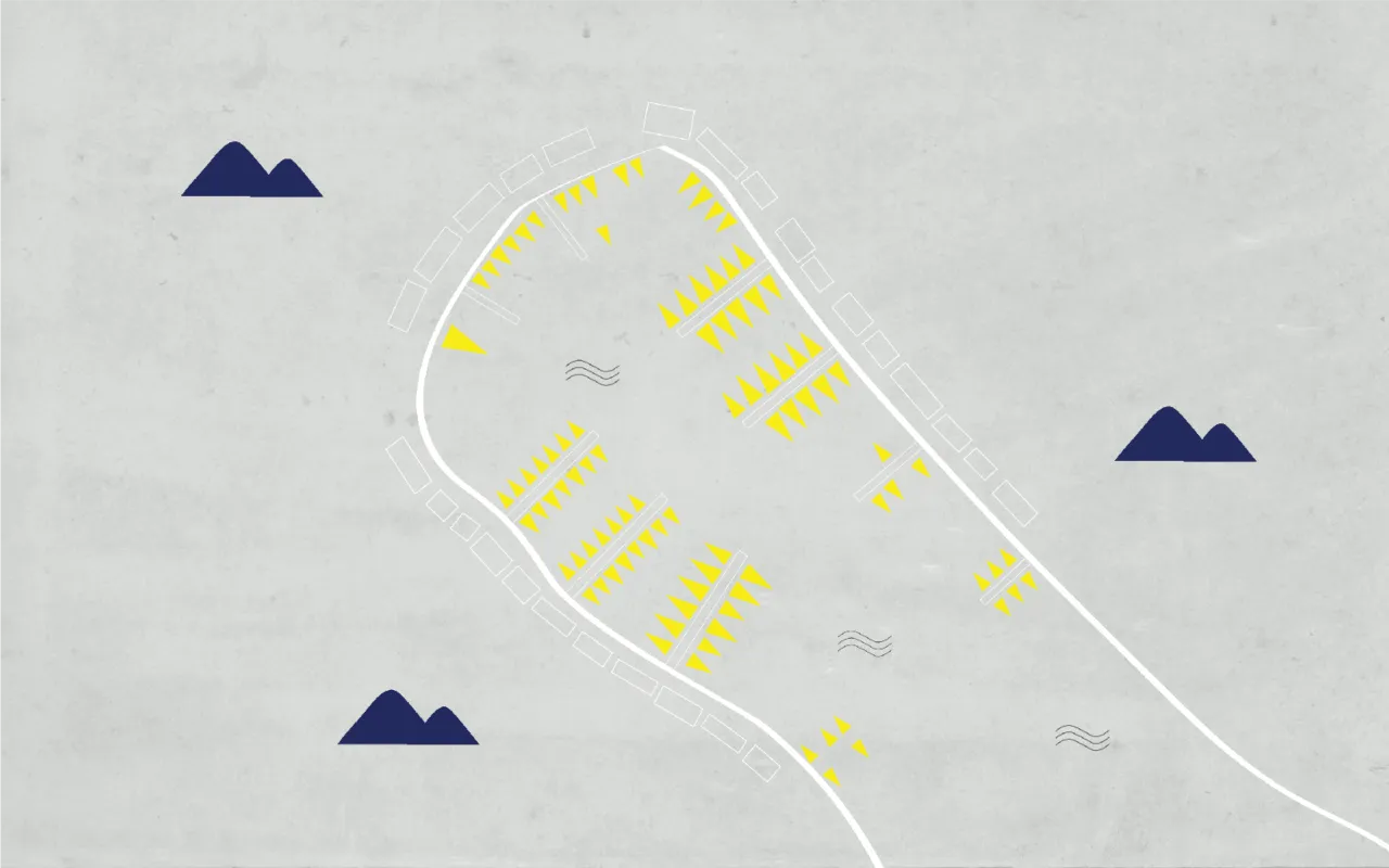
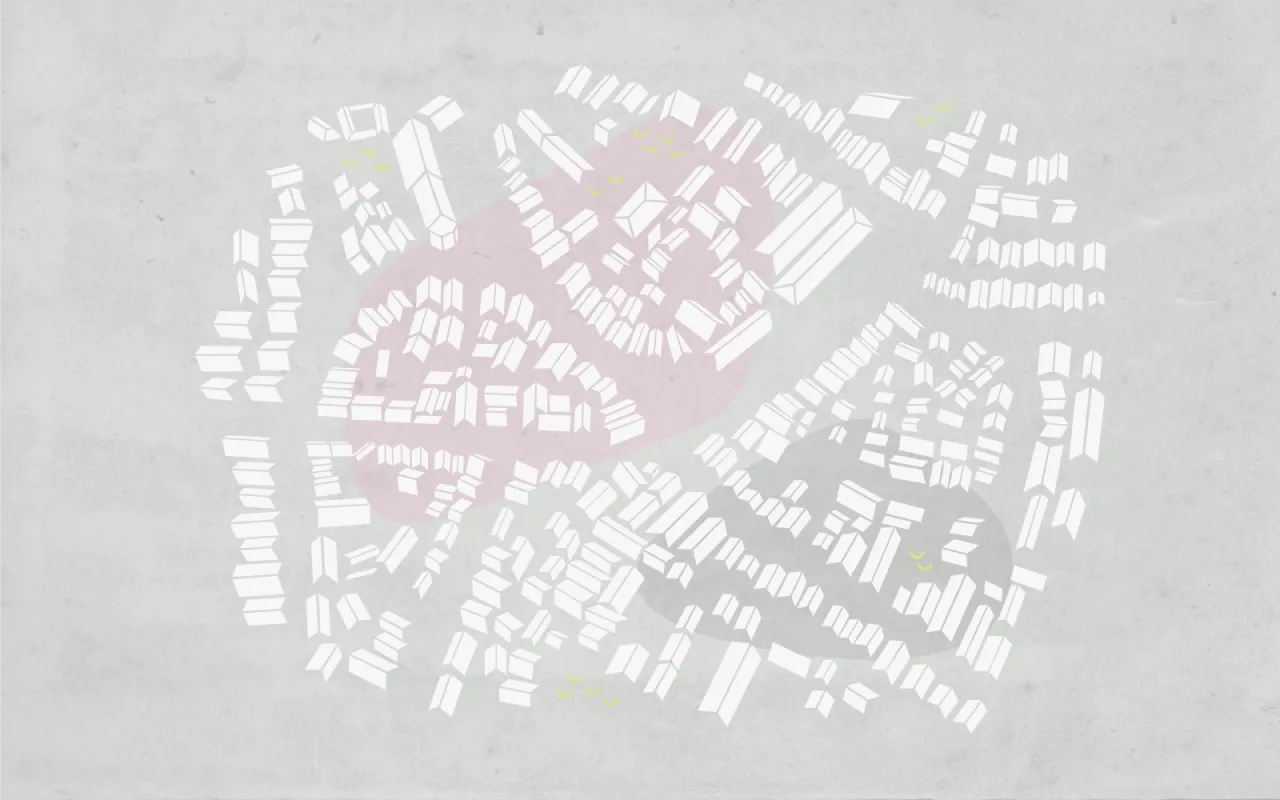
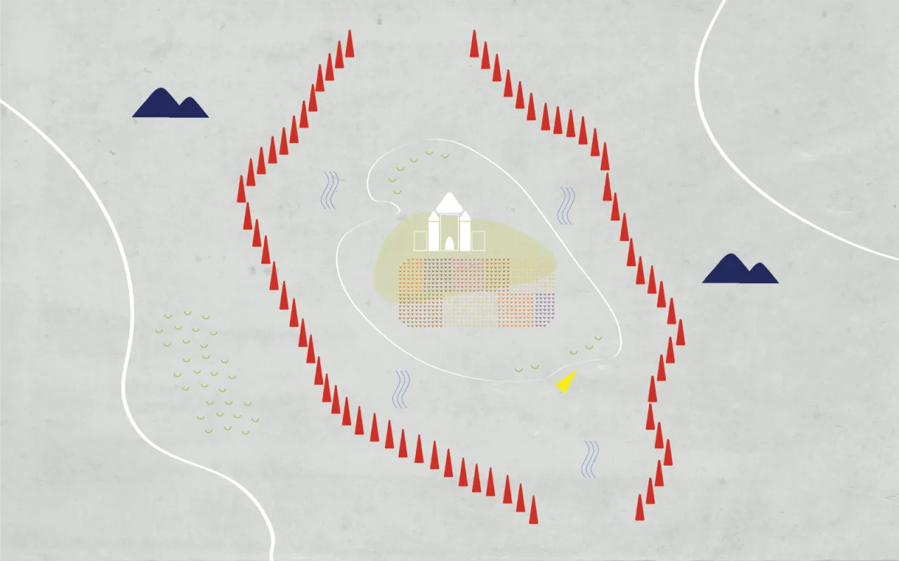
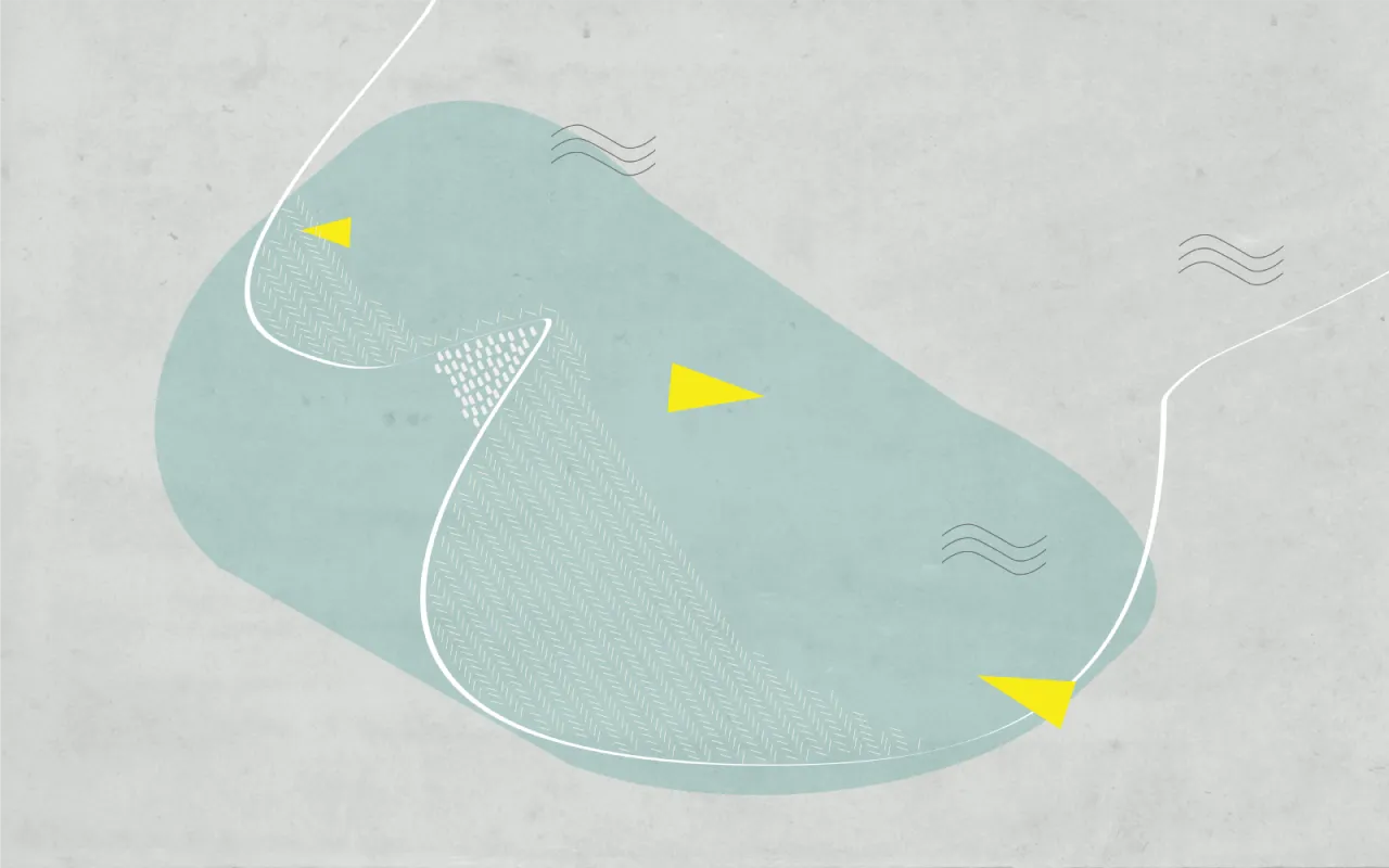
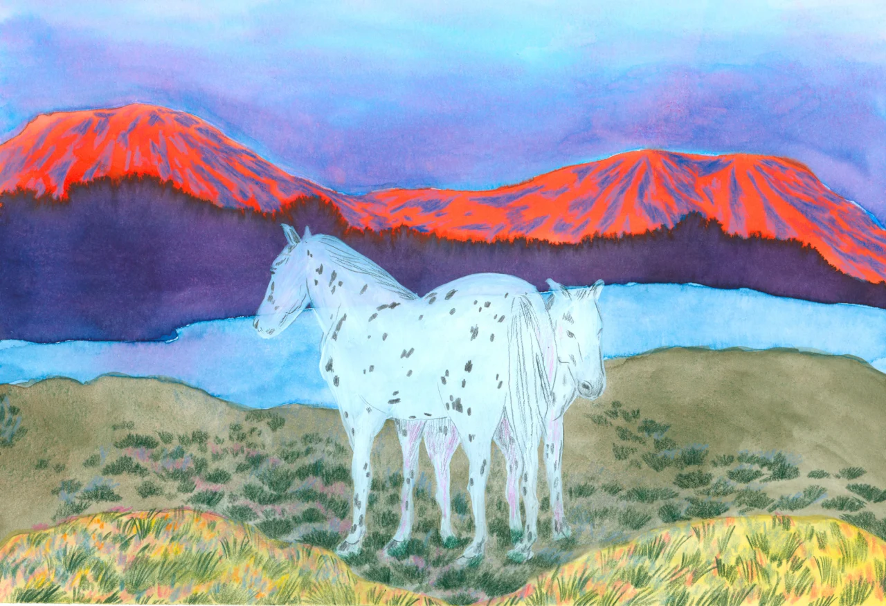
Most recently, for her OĀZE project, Una has created a sound map of an imaginary island. She explains: "Unlike most sound maps that employ Google Maps or similar, this one uses digitally illustrated original map and aerial views of places such as market, harbour, villages and landscapes, initially based on real places.
"As sound maps do, it also features field recordings which are accompanied by voice narrations that tell fragmented stories about a woman who was born and raised, and has lived her entire life on this fictional island."
The work blends digital illustration, fictional storytelling, sound art and creative technology into one. For more details visit optophono.com/oaze.
Editor's Picks



Trending


Latest Jobs
Senior Digital Designer at 3800
Full-time·Sheffield·£40k-60k
Senior Front End Developer at Crown Creative
Full-time·Belfast·£50k–£60k
Client Director at Koto
Full-time·Berlin·€70k-€85k
Art Director at SPOKE
Full-time·London·£55k-65k
Client Success & Growth Director at Revolution Growth
Full-time·Manchester·£60k-£70k
Midweight Full Stack Developer at Bureau for Visual Affairs
Full-time·London (Open to remote)·£35k–£50k